Now in beta · on iPhone
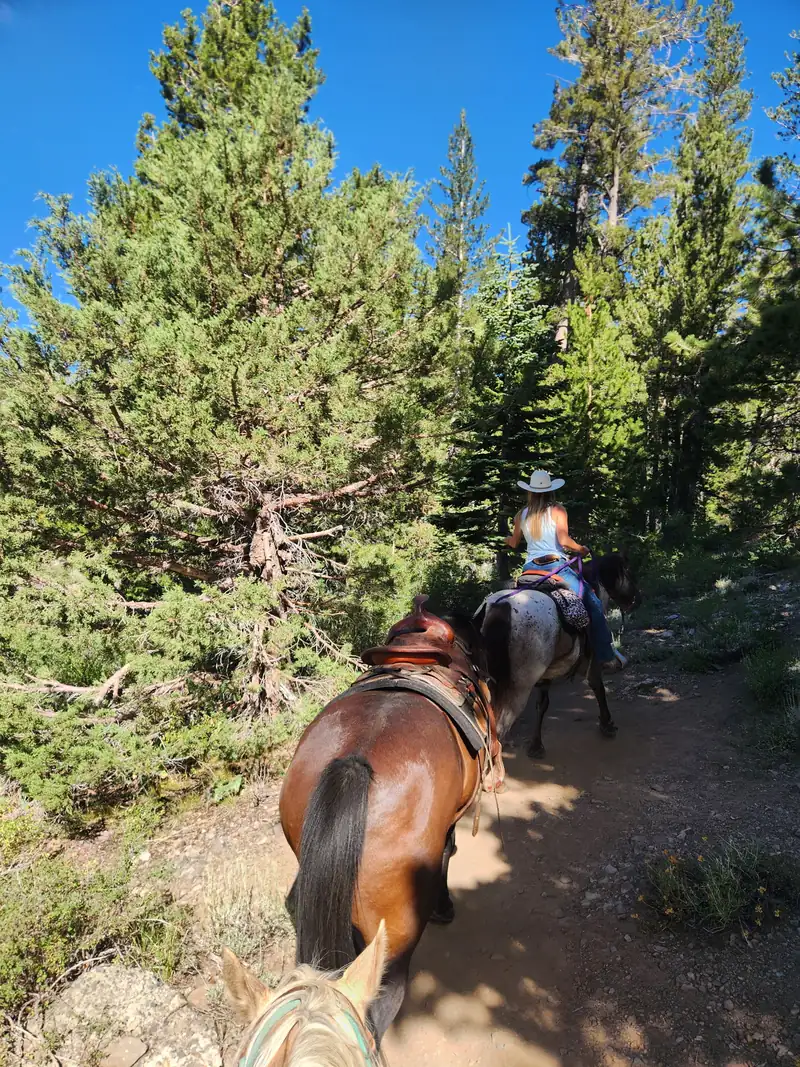
Horse trails, trailheads and horse camps on public land across the West, with the details riders need: where to park the trailer, whether there's water, and what the trail is like.
The app
Every trail and trailhead answers the questions that decide the trip, and says which agency the information came from and when.
Trailhead
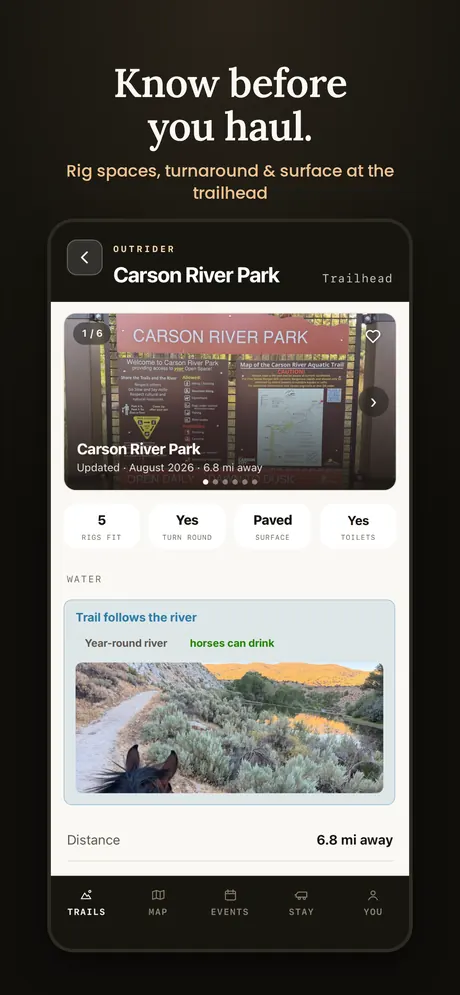
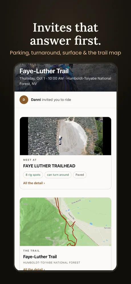
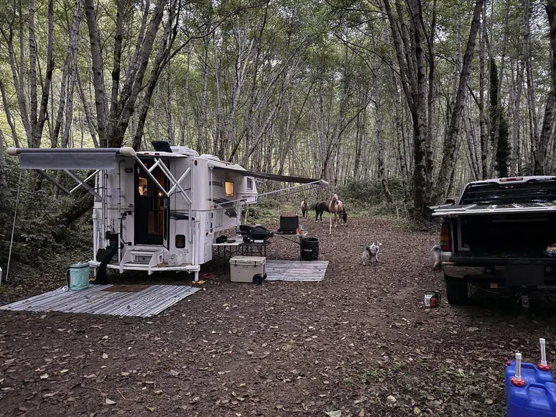
Parking for your rig How many rigs fit, whether you can turn around, and the road surface in.Water
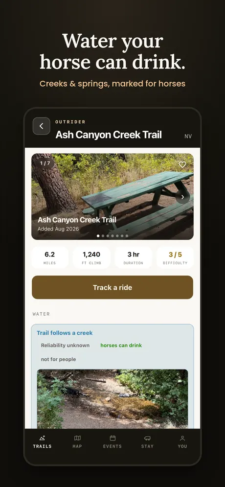
Water your horse can drink Creeks and springs marked along the trail.Conditions
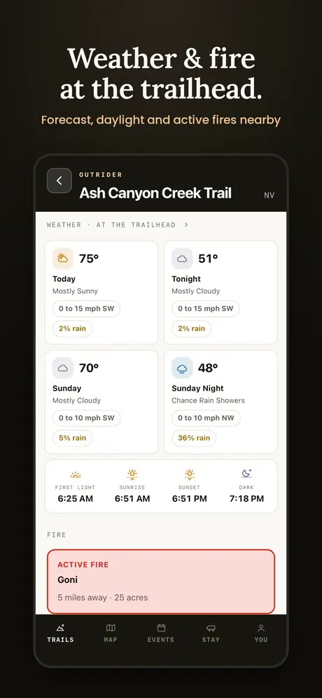
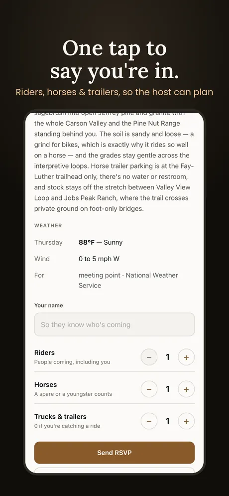
Weather and fire The forecast, daylight and any active fires near the trailhead.The trail
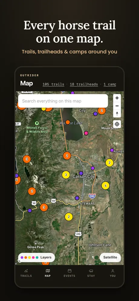
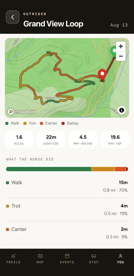
What the trail is like Distance, climb, time and difficulty, with the whole route on the map.
Group rides
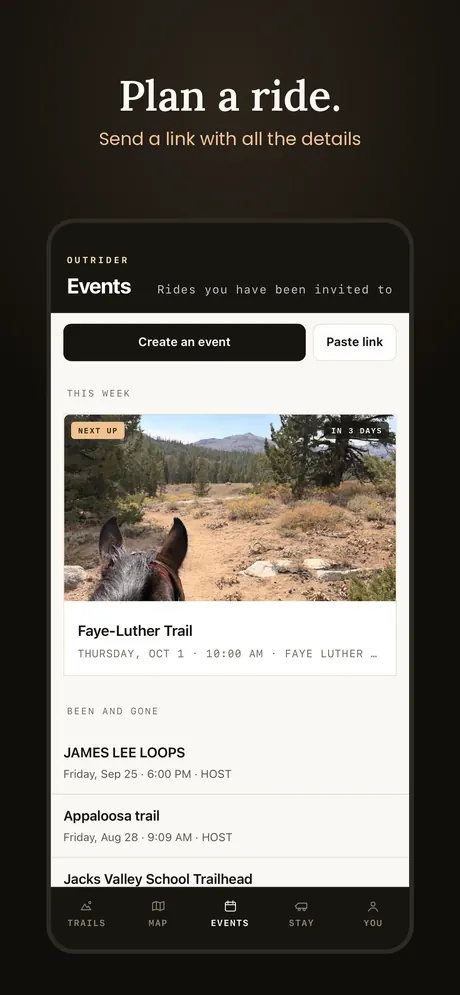
Plan a ride and send a link with all the information. The invite already covers what everyone asks, so your friends can tap once to say they're coming. Or join a ride from the ride board, with people who already know the ground.
Where the trails come from
Public land. Public data. Free. Some companies charge a subscription or a fee for trail maps built on the same public data. We don't think you should pay for information that's already yours. The map and trail data in Outrider are free, and always will be.
Government data
From the agencies Trails, trailheads and camps from federal and state agencies. Every one says which agency it came from and when.Rider data
Ridden by riders Routes recorded and shared by the people who ride them.Never bought
Not bought, not sold We don't buy trail data from anyone, and we never sell yours.The government data is a starting point, not the whole picture. Some trails are missing, some are out of date, and many horse trails were never mapped at all. Please be patient with us while we build it.
That gap is where you come in. Riders know these trails better than any agency map. If every rider recorded just one trail nobody else has, we'd have the best horse trail resource there is, free and open to everyone.
Every shared ride also counts horse use. When a forest rewrites its travel plan, or a trail comes up for closure or reroute, the agency looks at who uses it. Hikers, bikers and off-road vehicles get counted; riders usually don't. So everyone in the room has a number except the people on horses.
Your rides change that. Every ride counted is a step closer to keeping the trails we love open to horses.
Shared rides are anonymous, and sharing is always your choice.
Your part
Let's build the most connected horse community there is, and keep the trails we love open and usable.
Coming soon!
Farms, wineries and ranches near good riding where you can park a rig. Your first night is always free, and every host posts what they'd like in return, so you see it before you request.
Who's behind it
I grew up on a ranch, spent 13 years in the U.S. Army and finished as a helicopter pilot. After years of hauling horses across the West and piecing together trail information from dozens of places, I wanted one place that could do it all. So I built it.